International Workshop Announcement
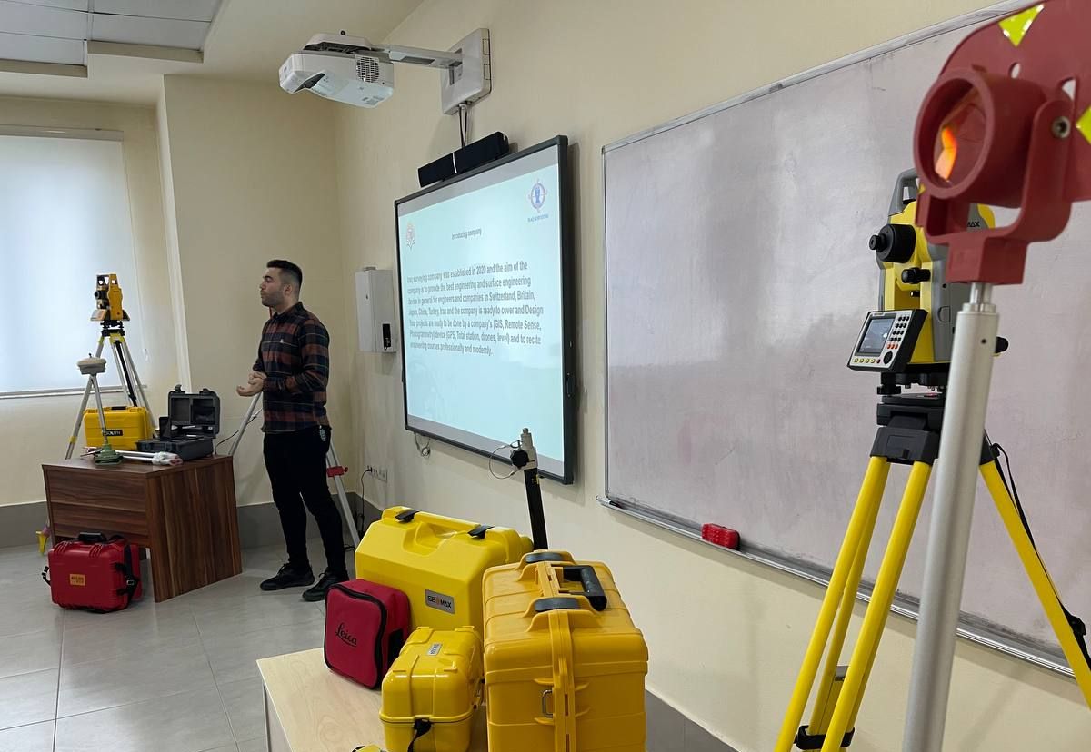
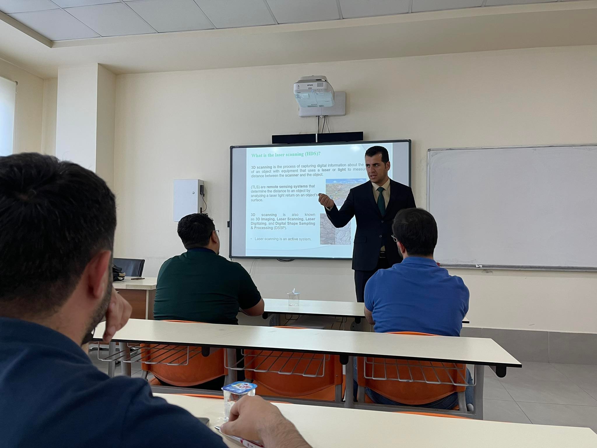
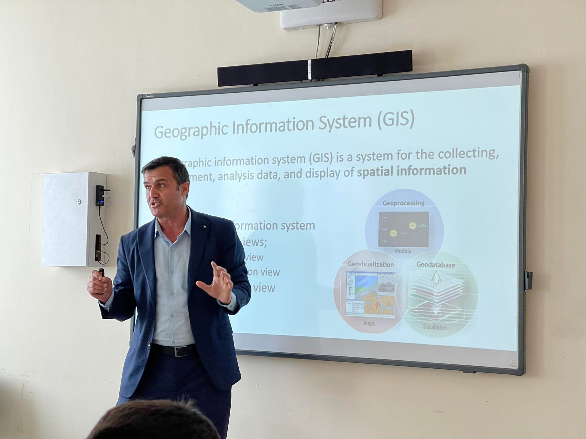
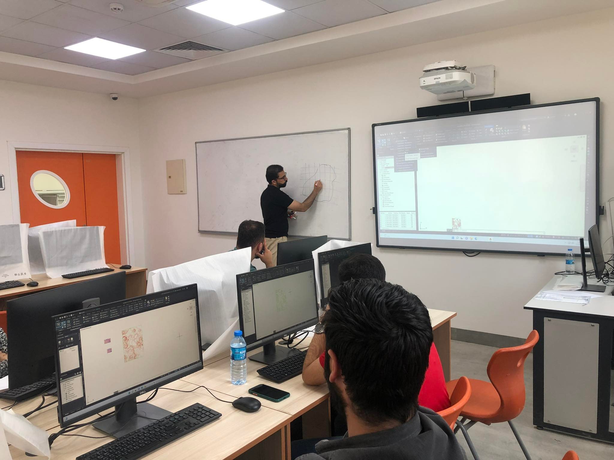
Web Admin2023-01-16T07:14:31+03:00The Surveying and Geomatics Department Faculty of Engineering at Tishk International University will hold an International Workshop entitled " Interpolation Techniques for Building a Continuous Surface (map) from Discrete Data " on January 18th, 2023. Abstract and Objectives: To give justification for performing interpolation. To familiarize the participants with deterministic and geostatistic types of interpolation methods. To explain the assumptions of each method of interpolation. To provide examples of applications of interpolation in the field of engineering in general and in the field of surveying in particular. The workshop includes the following sessions: 1st session: Interpolation Techniques 2nd session: Discrete Data The workshop will be presented by [...]