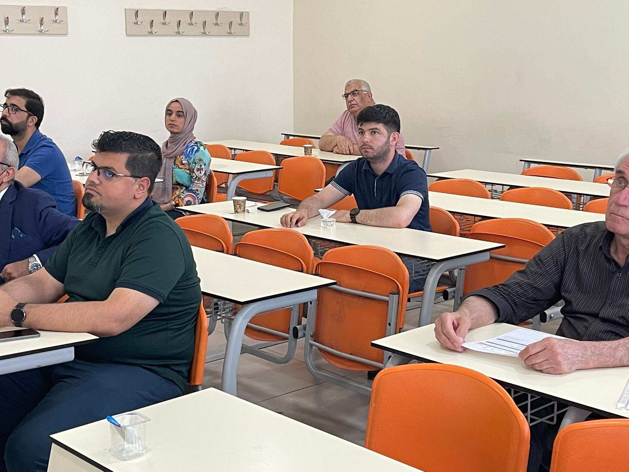
National Workshop on UAV – based Lidar Topographic Survey in Mines
Surveying and Geomatics Engineering
Date
9th June 2022
Time
3:00 PM – 5:00 PM
Location
Tishk International University – Hall 329 – Main building.
Abstract and Objectives:
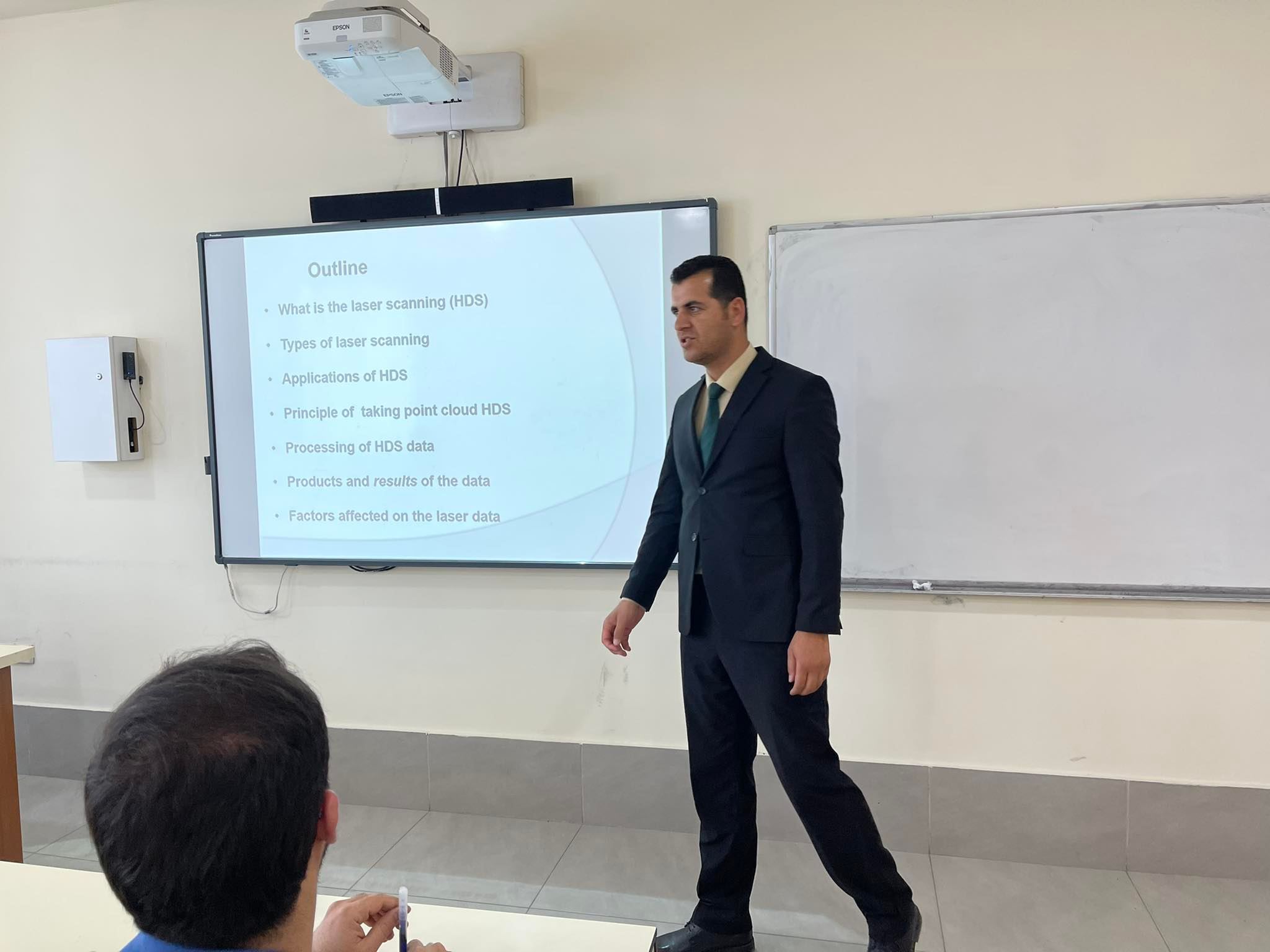
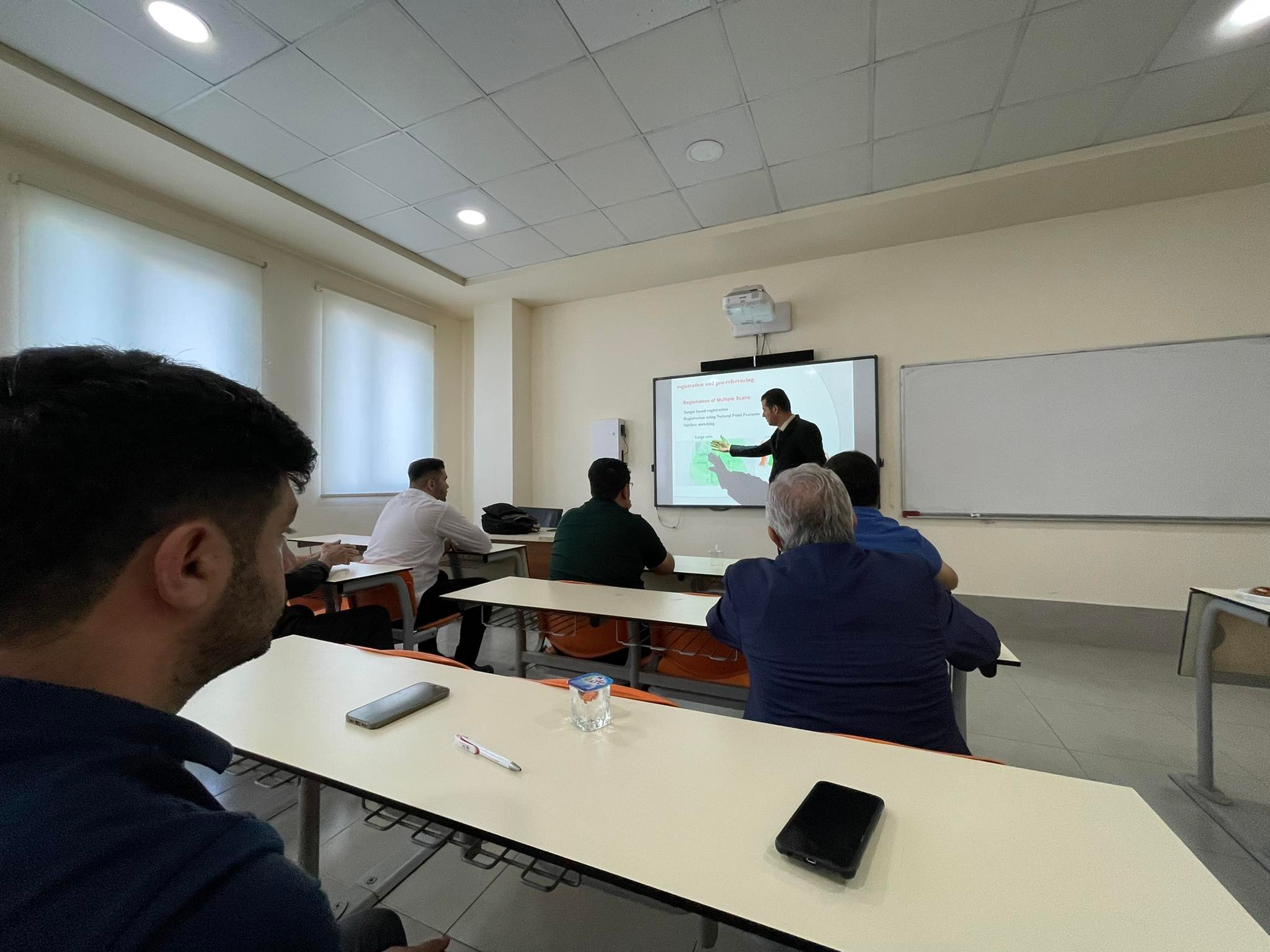
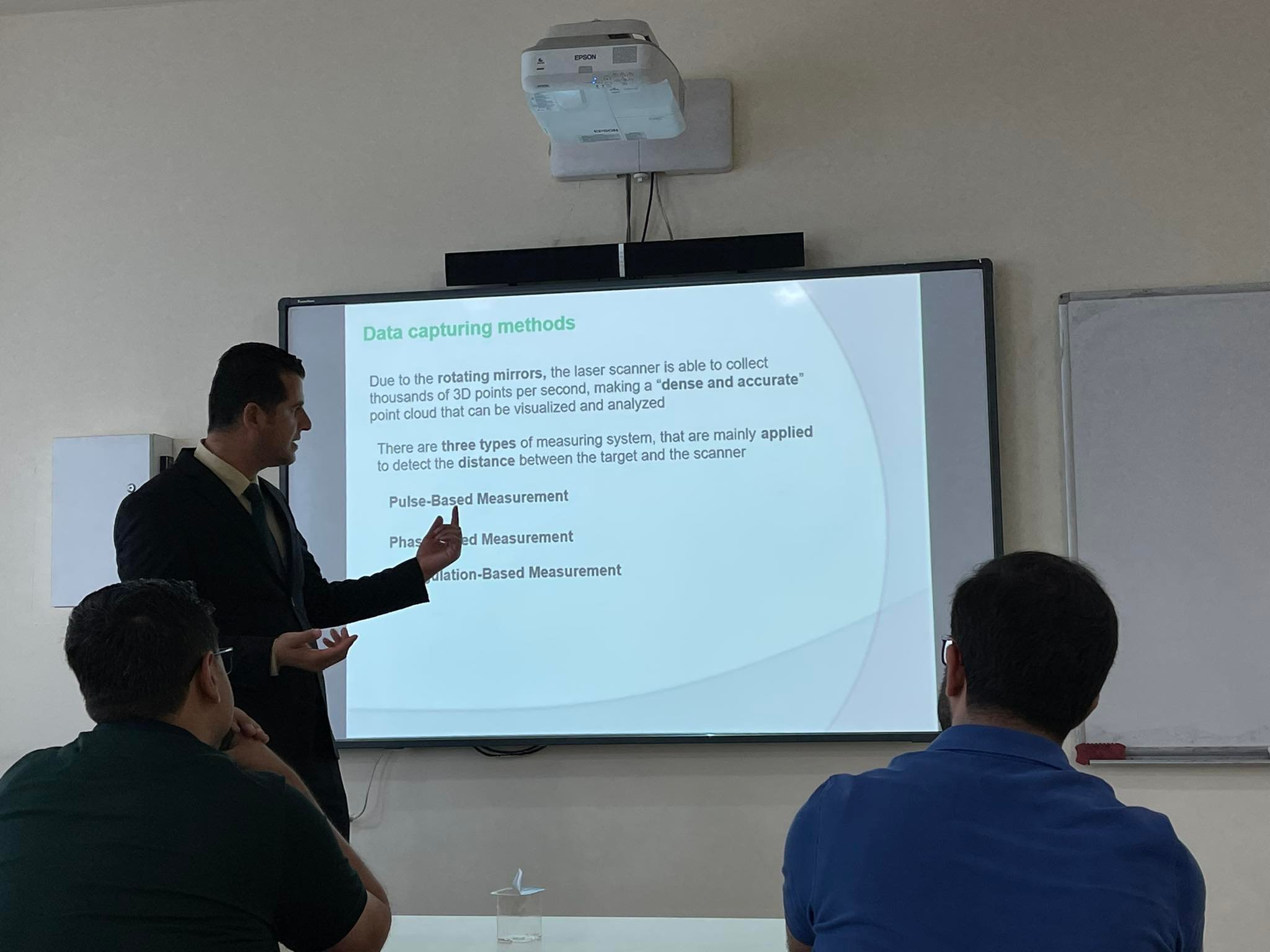
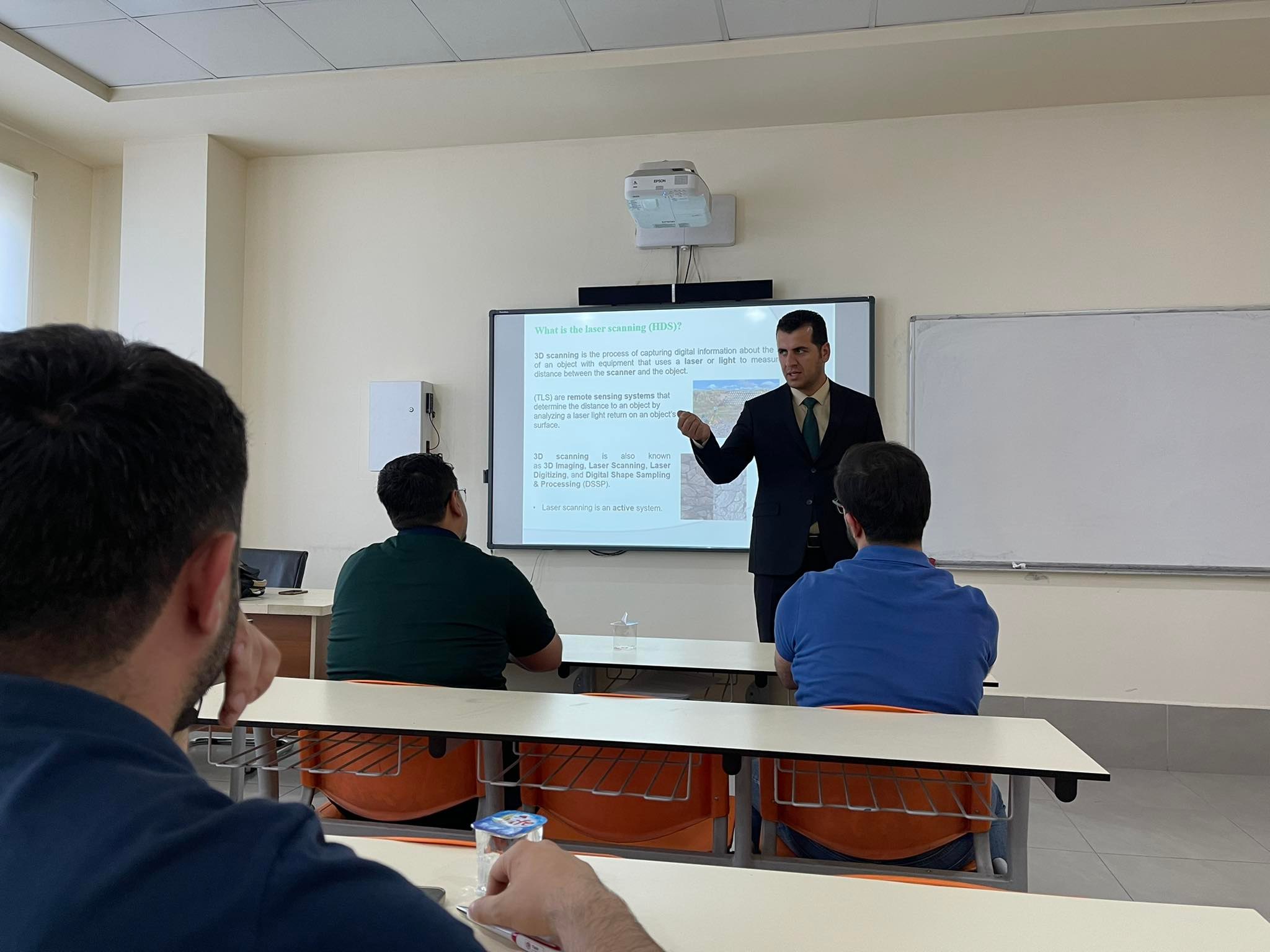
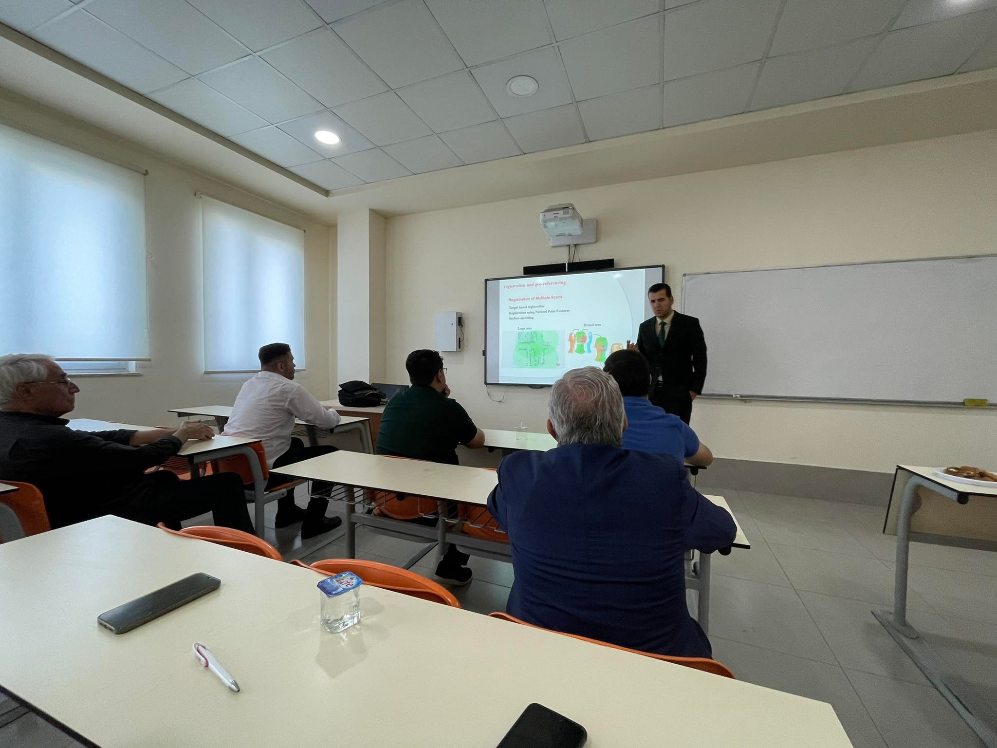
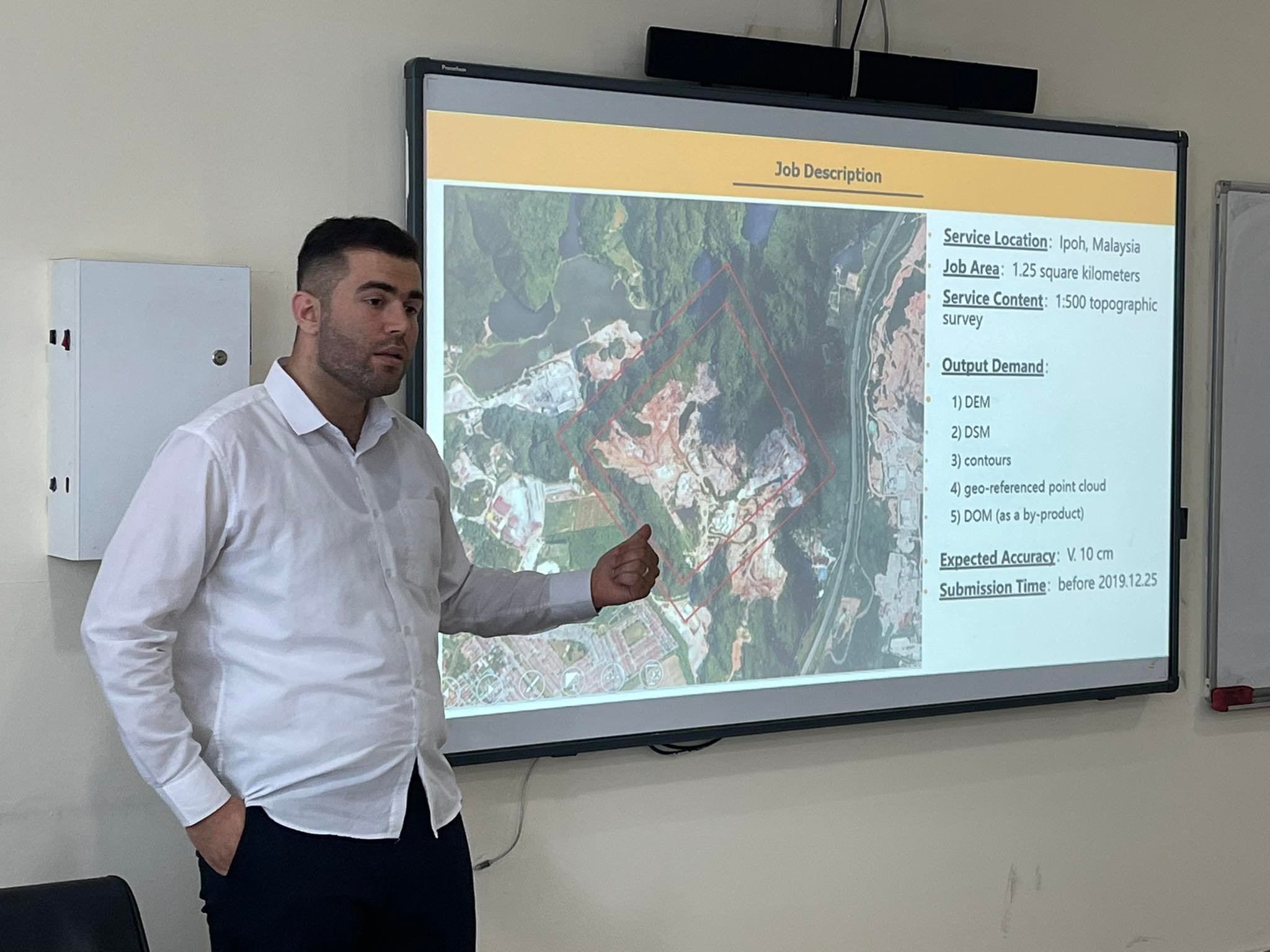
UAV – based Lidar Topographic Survey in Mines is a new methodology for applying the principles of UAV photogrammetry in mining surveying to show state of the art and calculate quantities removed, and document further activities at the site.
Rough Agenda:
Presentation 1;
Discussion
Tea break
Presentation 2:
Discussion.
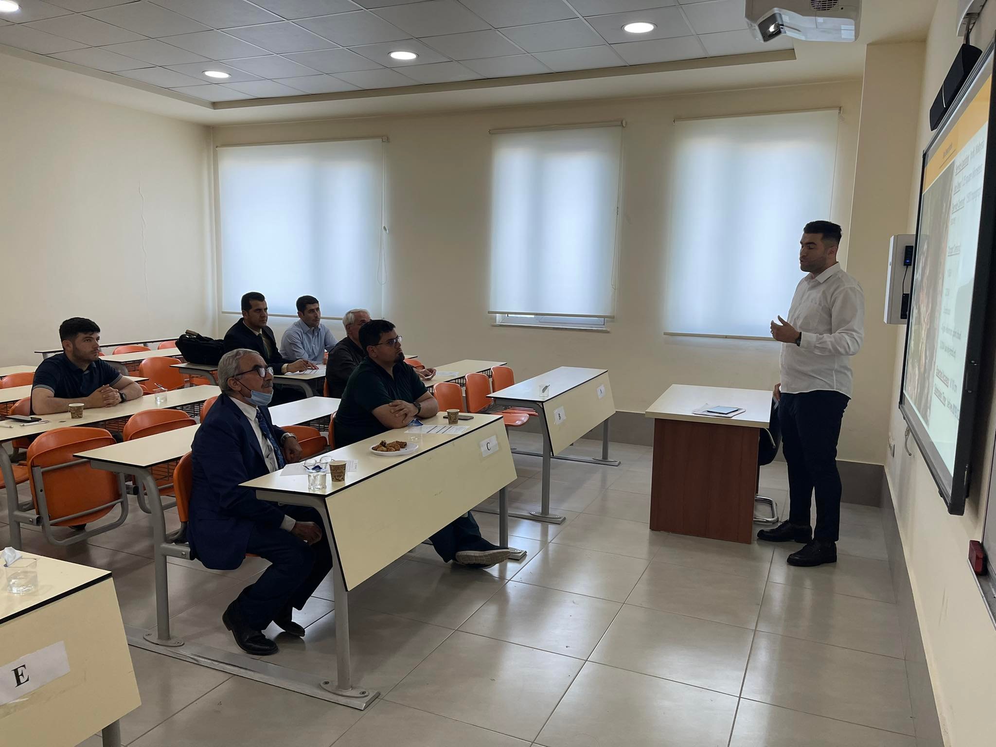
Presenters:
- Bakhtyar Ahmed, Ph.D. student /Geomatics Engineering Dept. Engineering College – SU.
- Malik Kamaran, Iraq Survey Company, Erbil branch.