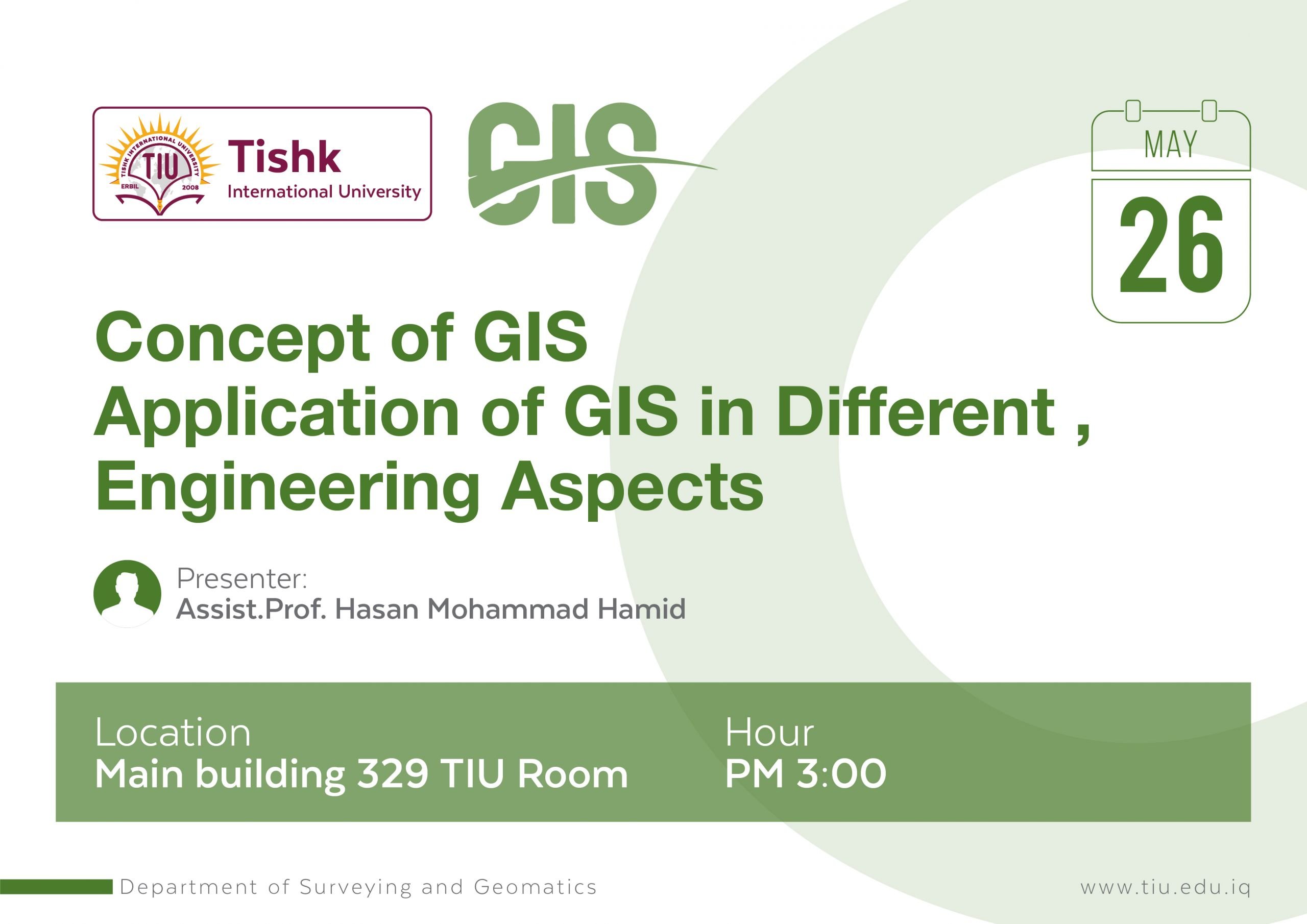
National Workshop on Concept of GIS, Application of GIS in Different Engineering Aspects
Surveying and Geomatics Engineering Department
Date
Thursday 26th May 2022
Time
3:00 PM – 5:00 PM
Concept
Geographic Information Systems (GIS) is a system for capturing, storing, checking, and displaying data related to positions on Earth’s surface. GIS can show many different kinds of data on one map, such as streets, buildings, and vegetation. This enables people to more easily see, analyze, and understand patterns and relationships.
Application
Many organizations in various industries use GIS to create maps that communicate, perform analysis, share information, and solve complex problems around the world. This is changing the way the world works.
Presenters
Assist.Prof. Hasan Mohammad Hamid
Biography
Hasan M. Hameed is a lecturer and researcher of hydrology and GIS/remote sensing modeling (M.Sc. in Geomatics and BSc in water resources and Design Dams). He has a variety of interests related to water and land-related resources, and his research focuses on integrating contemporary hydrological monitoring into appropriate spatial and temporal measurement schemes using GIS and Remote Sensing. Hasan M. Hameed also focuses on urban growth and land use/land cover change and the effect of these parameters on the water surface (runoff) and groundwater.


