UAV – Photogrammetry Training
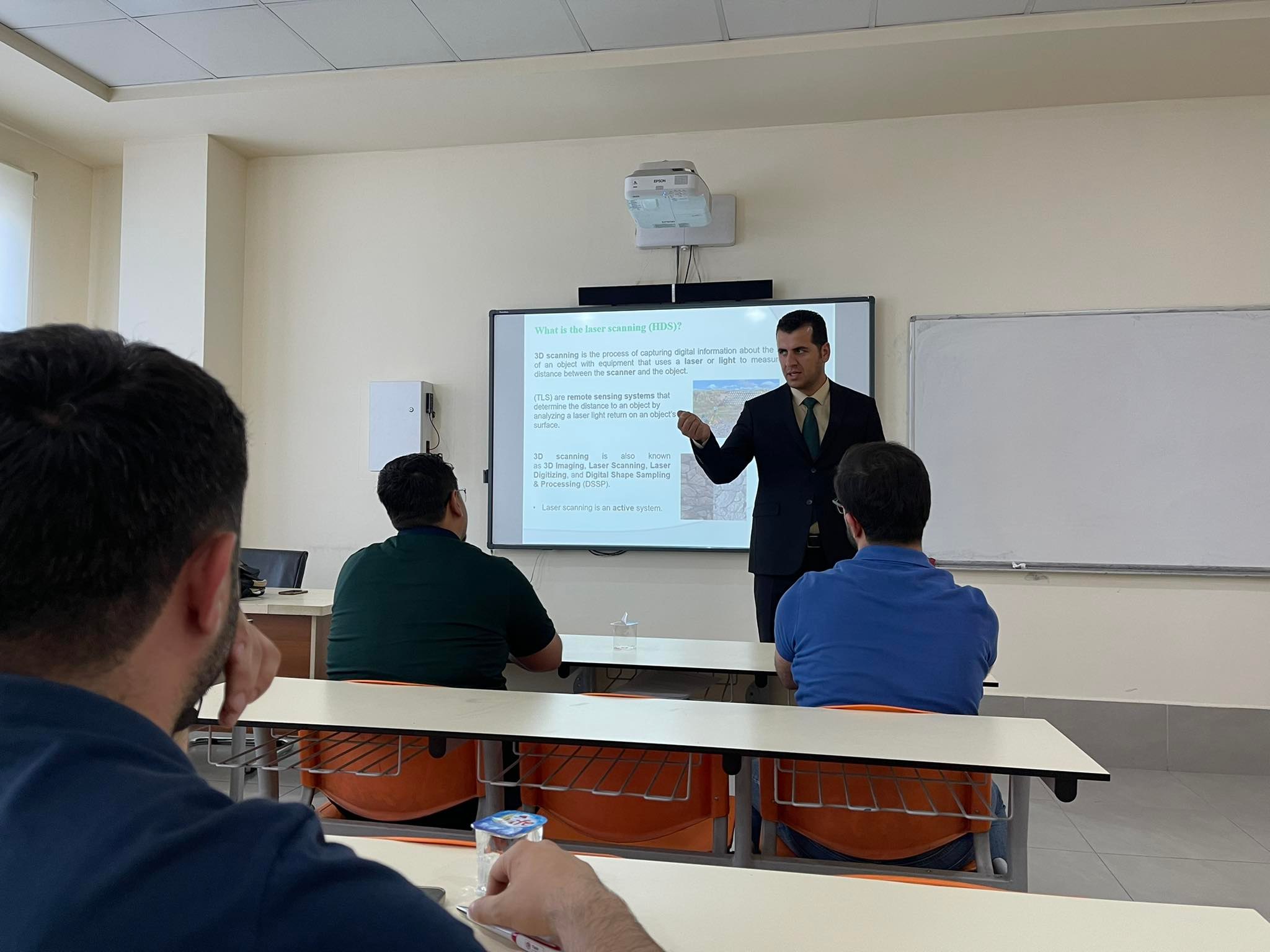
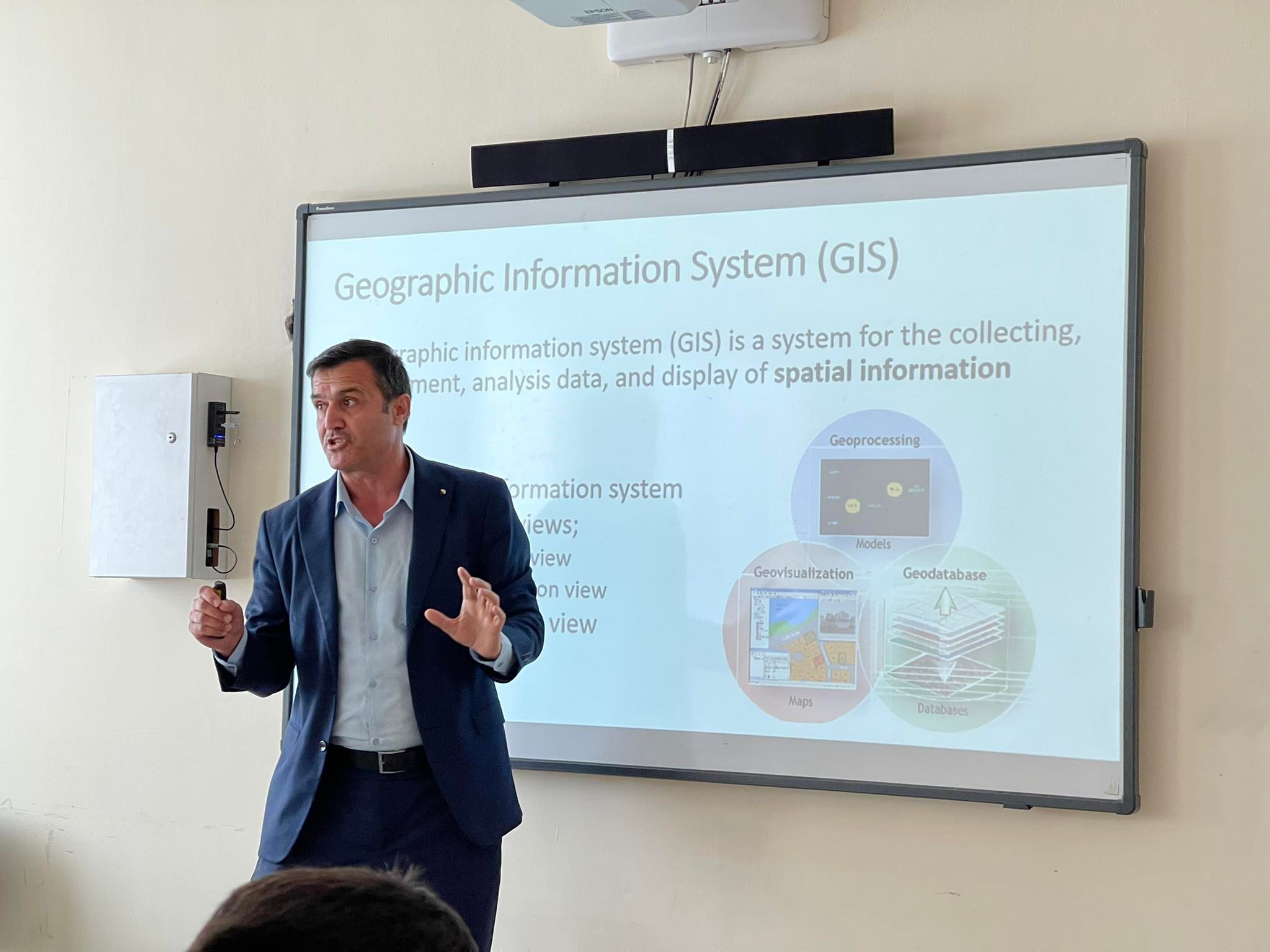
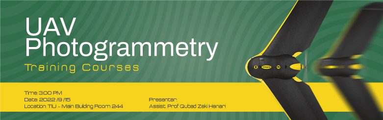
Web Admin2022-09-14T06:44:01+03:00The Surveying and Geomatics Engineering Department, Faculty of Engineering at Tishk International University is happy to announce the UAV- Photogrammetry Training Course for TIU Graduates and Engineers. The program contains 24 hours of in-class training. The course will start on the 15th of September 2022 and end on the 30th of October 2022, every Monday and Thursday. Location: Room # 244, 2nd floor, Main building, TIU campus, 100m street, Erbil, Iraq. For registration and more information, please scan the code below or CLICK HERE