Civil 3D Essentials and Working With Survey Data
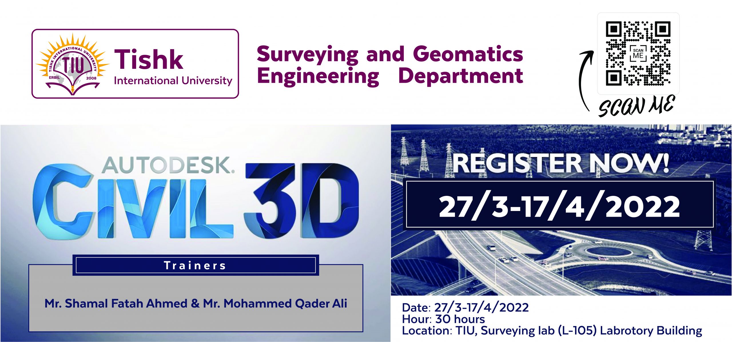
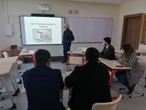
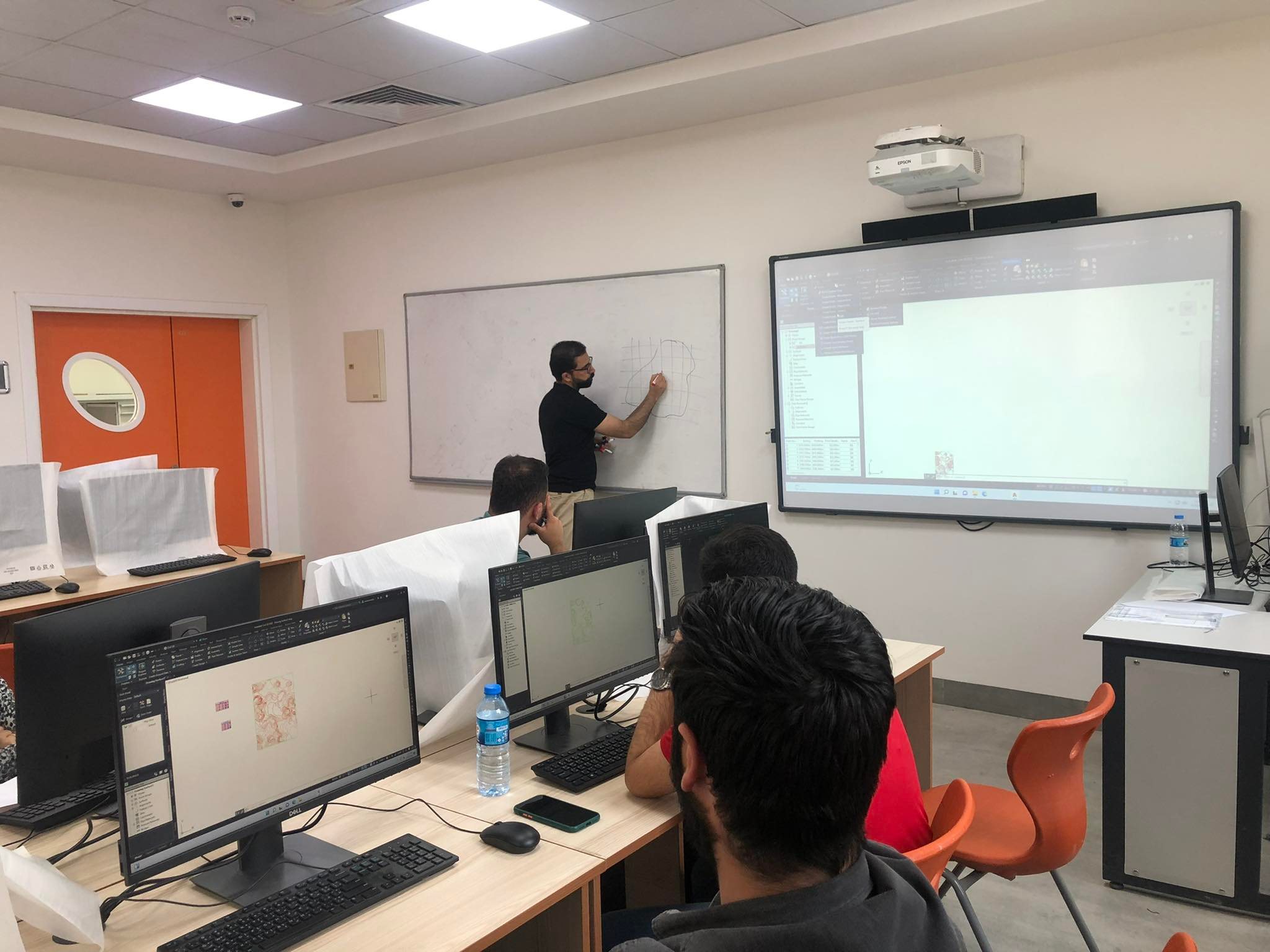
SGEeditor2022-06-20T11:27:31+00:00Civil 3D Essentials and Working With Survey Data The Surveying and Geomatics Engineering Department, Faculty of Engineering at Tishk International University, organised an annual training course on Civil 3D Essentials and working with survey data. The course was held for graduate and undergraduate students and staff of the engineering faculty at TIU. The training was from May 8th, 2022, to May 23rd, 2022. A total of 27 hours, including theoretically and practical sessions, were presented by Mr Shamal Fatah Ahmed and Mr Mohammed Qader. This training course aimed to provide participants with the knowledge, practical understanding, and essential skill sets required to present surveying works related to [...]