UAV PHOTOGRAMMETRY TRAINING REPORT
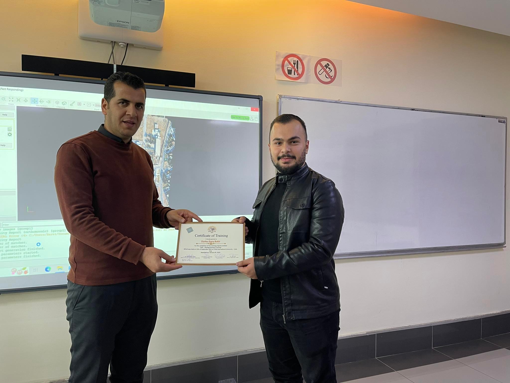
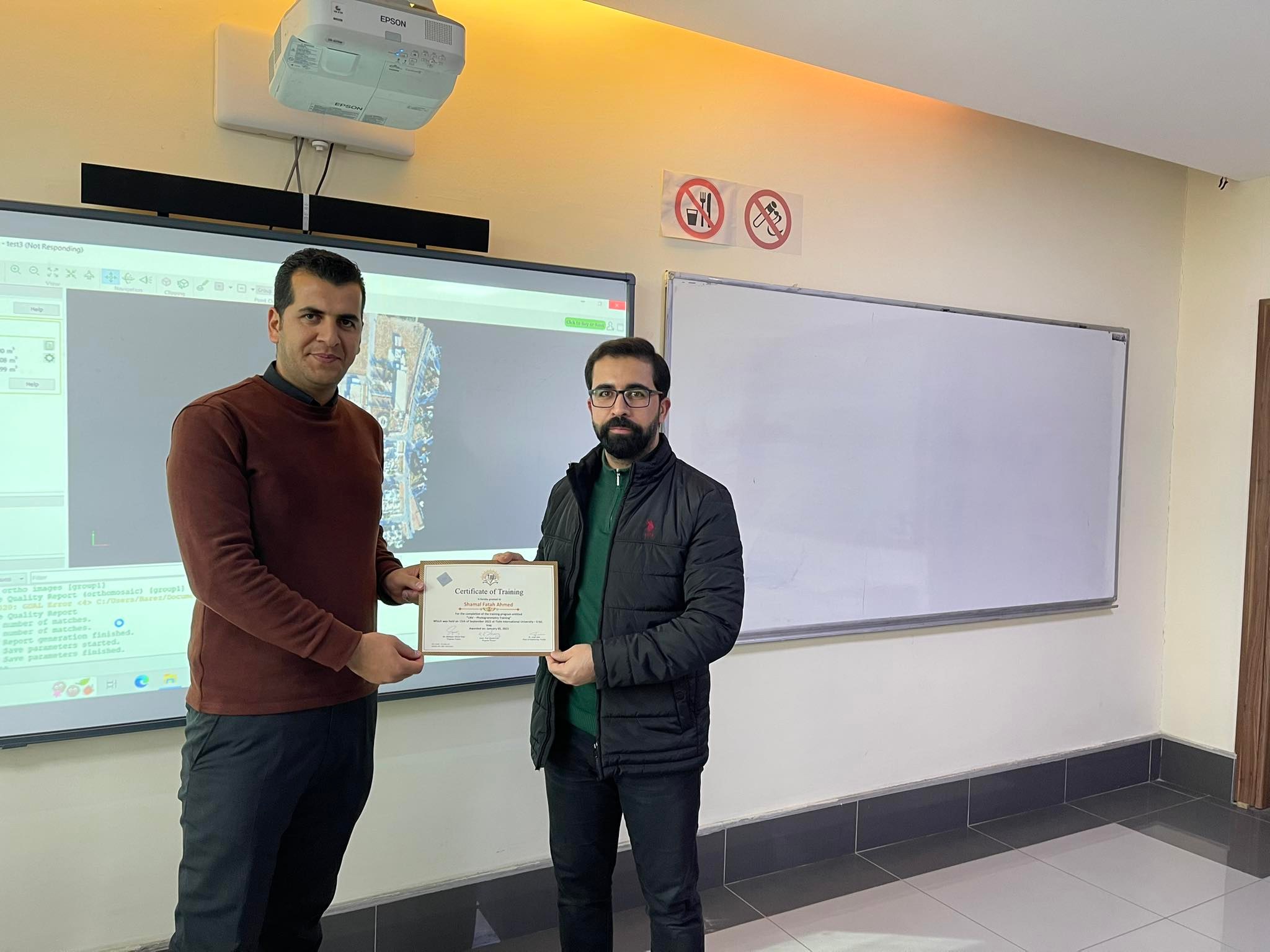
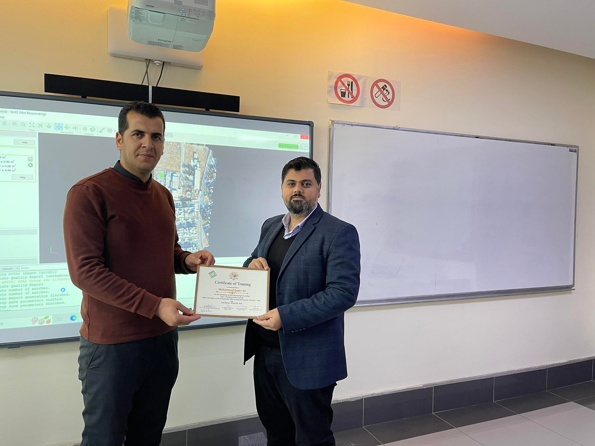
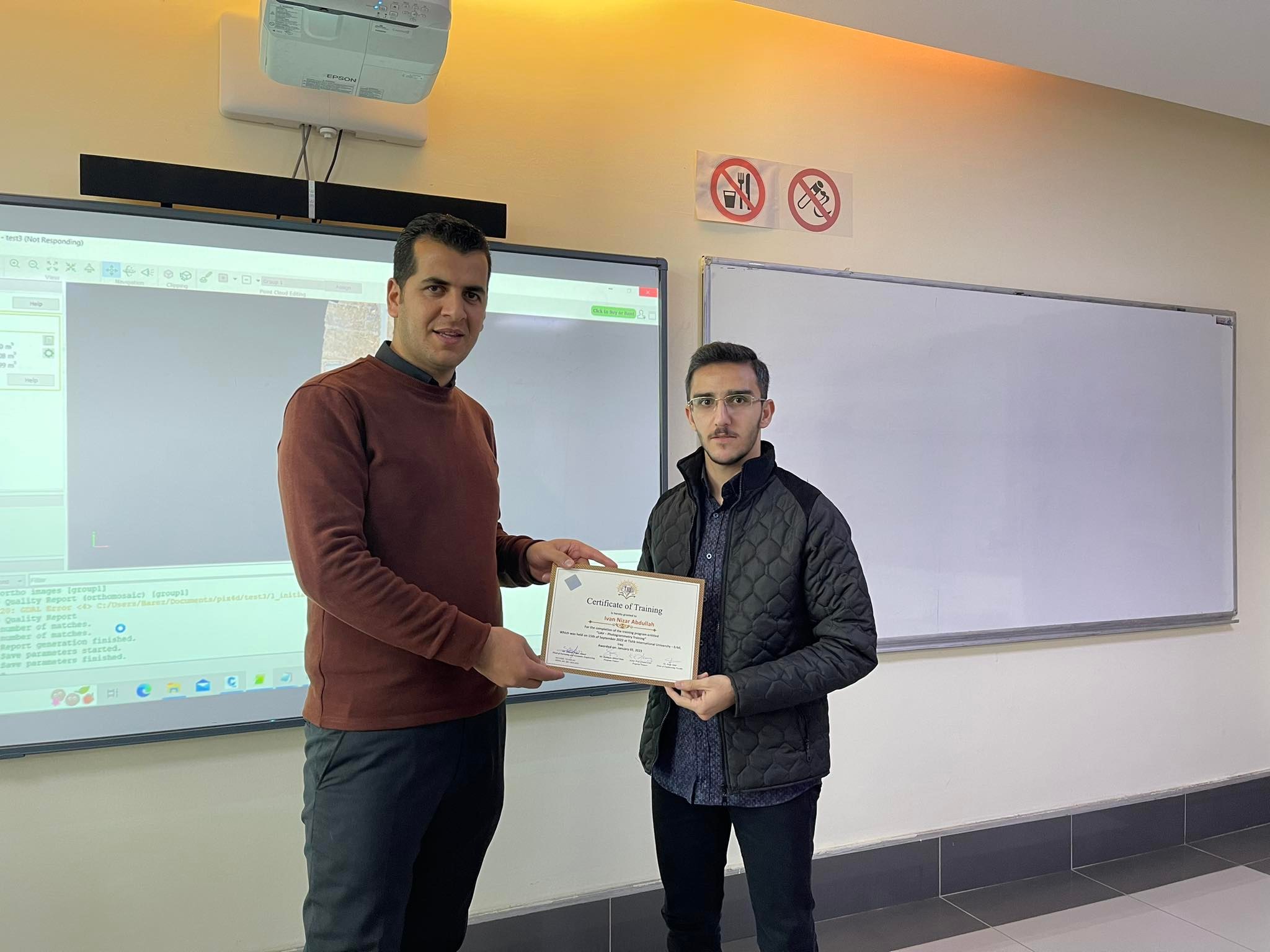
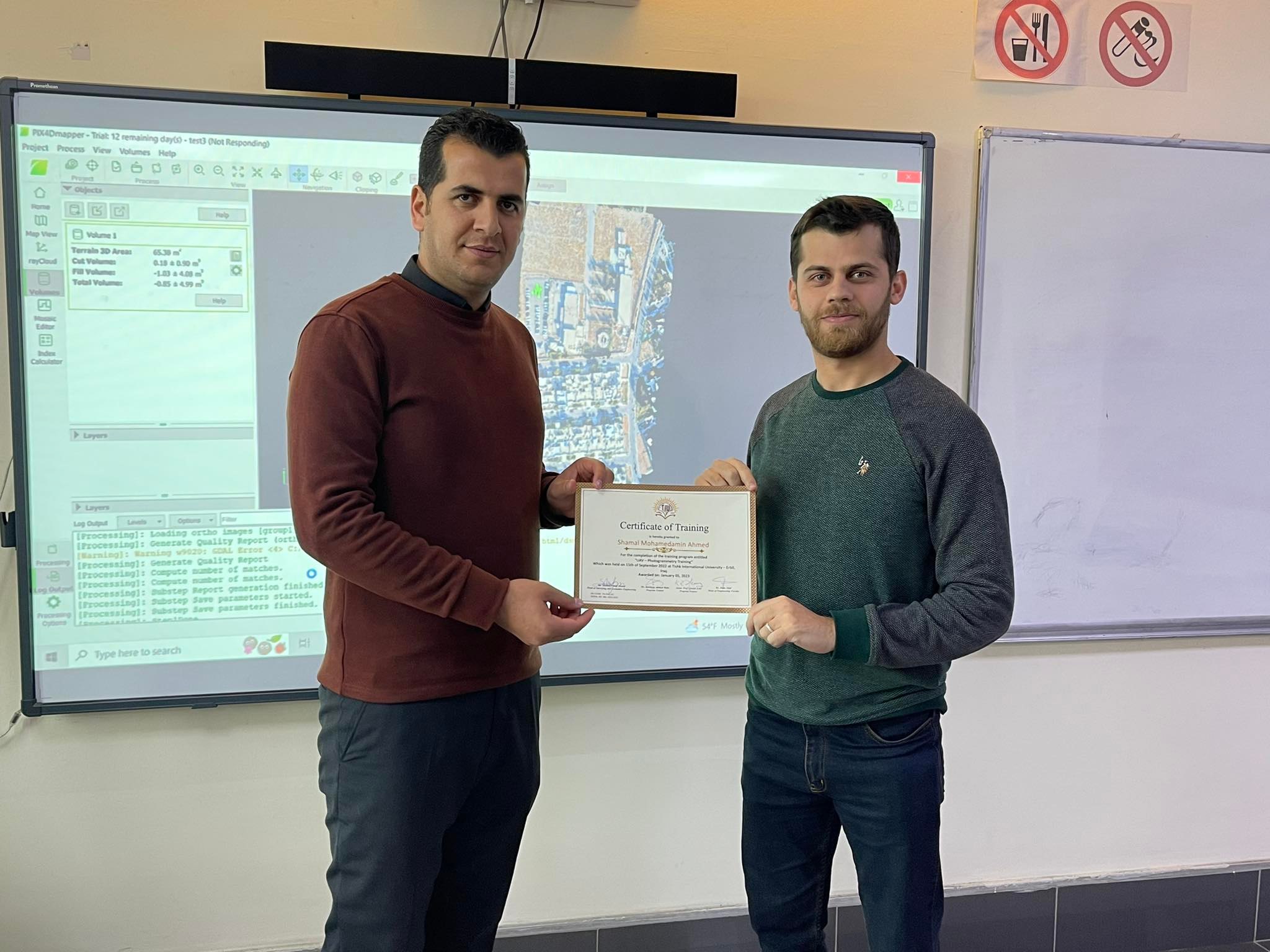
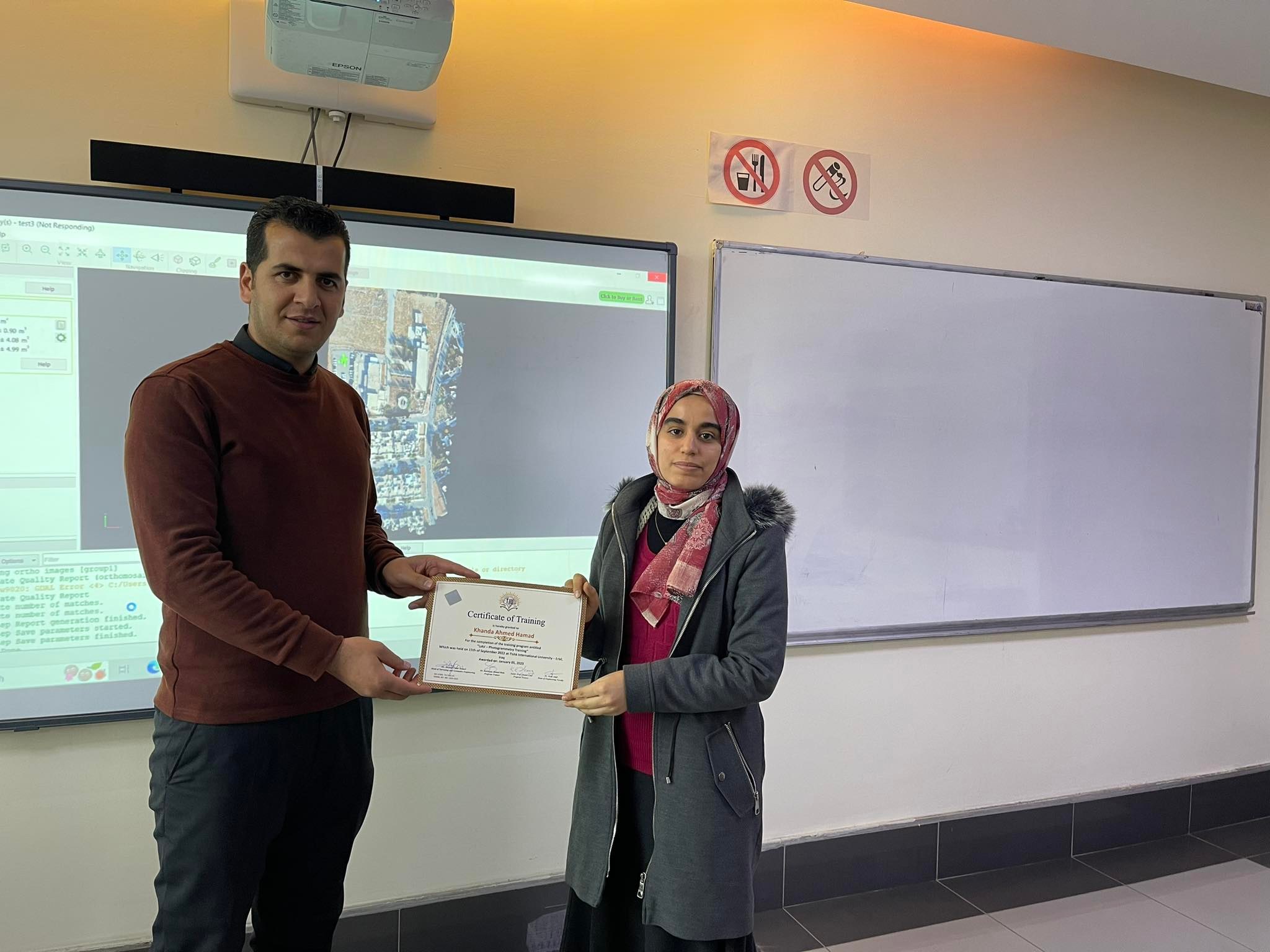
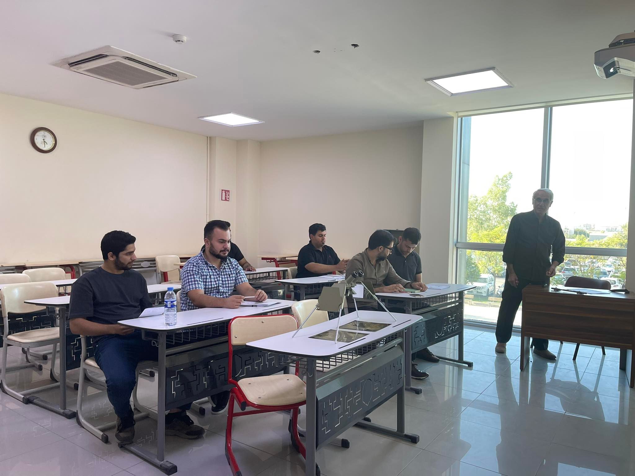
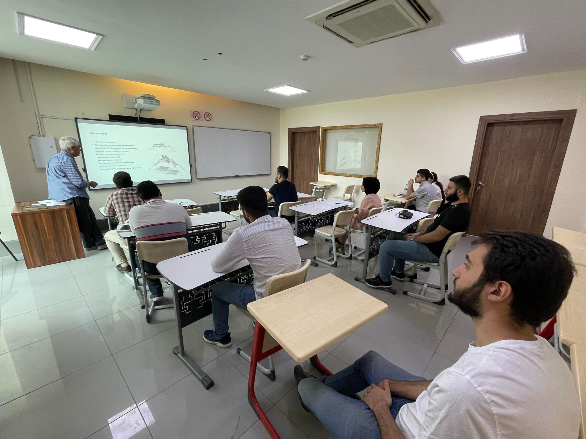
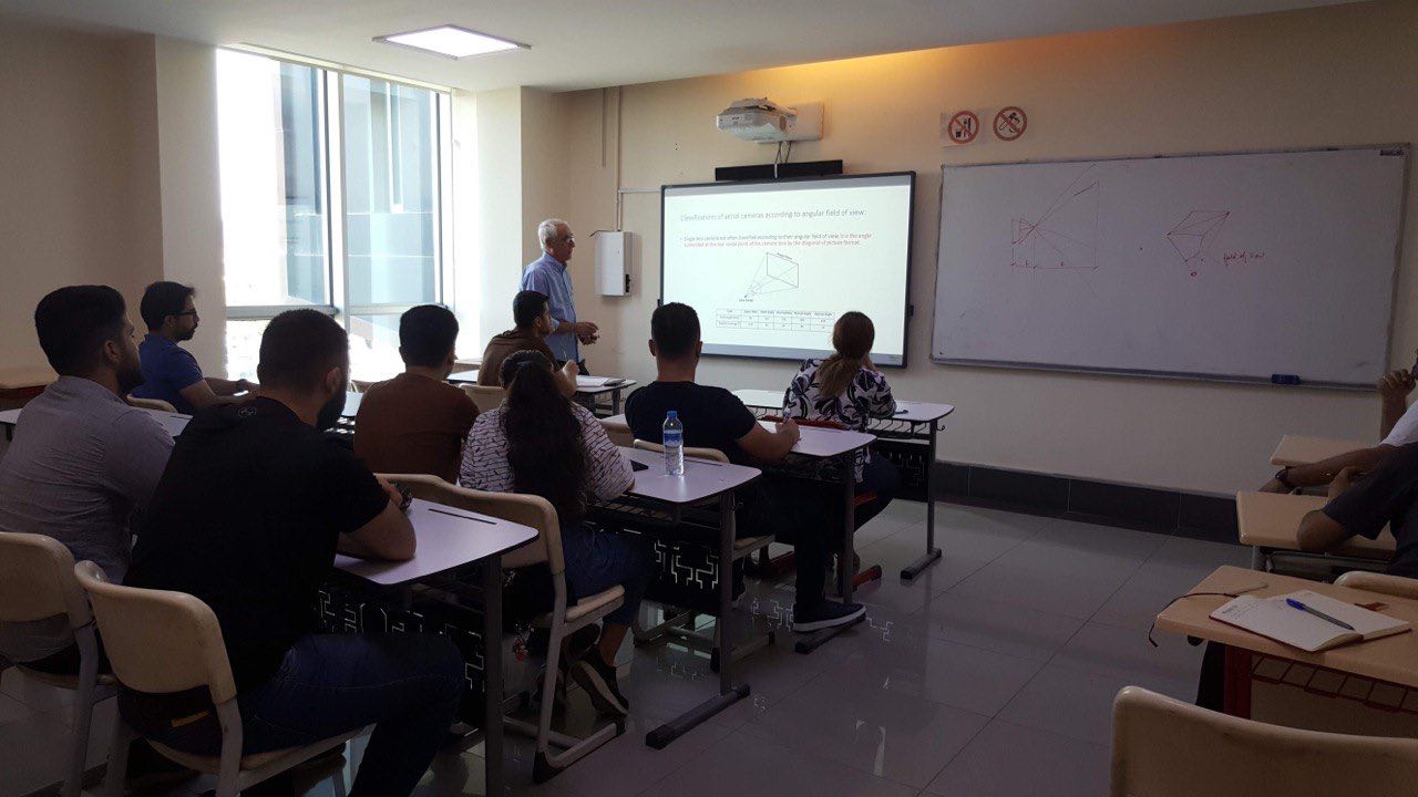
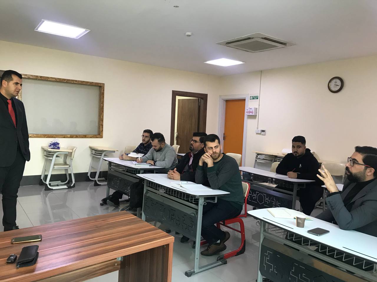
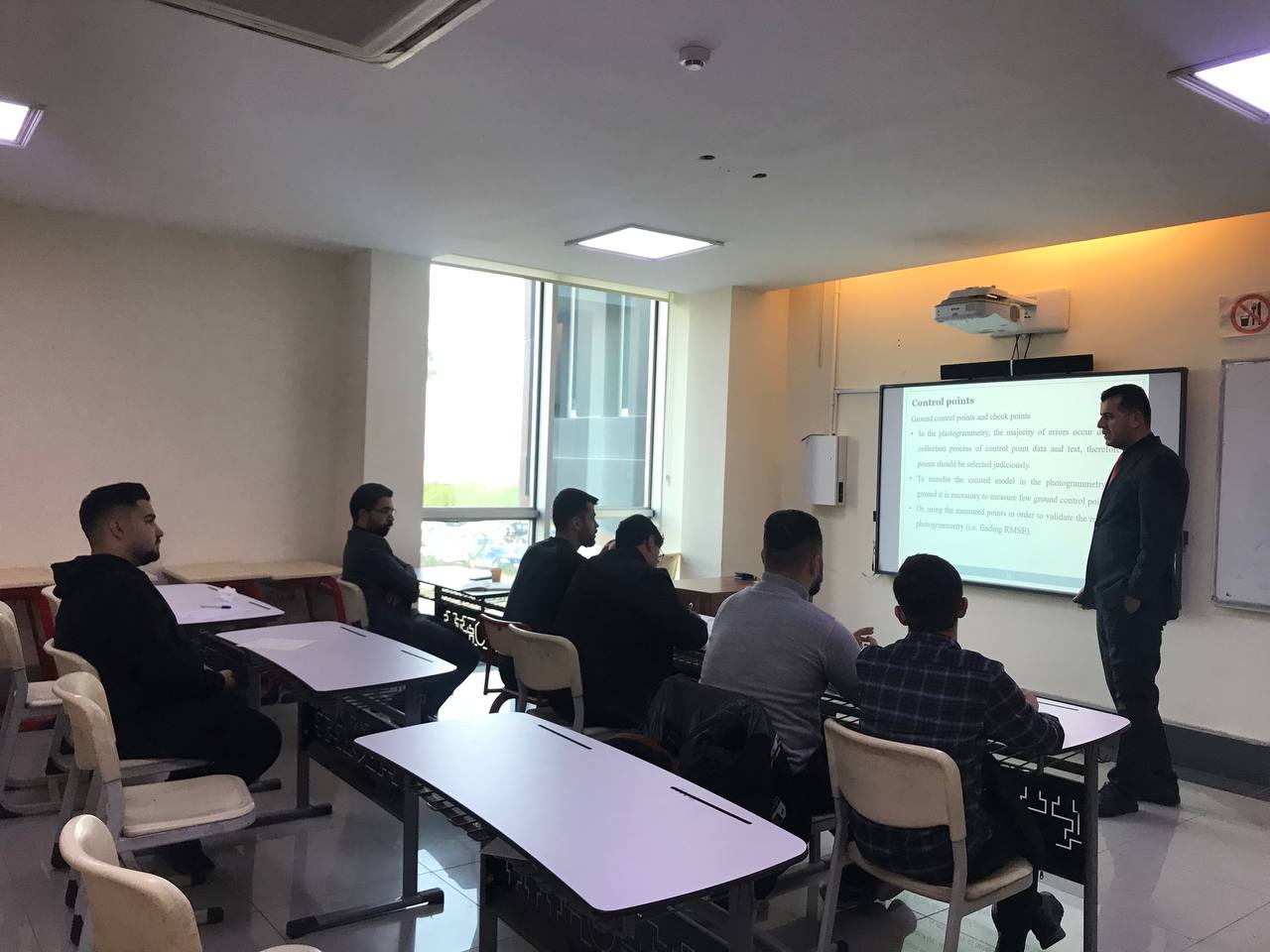
The Surveying and Geomatics Engineering Department, Faculty of Engineering at Tishk International University, organized an annual training course on UAV-PHOTOGRAMMETRY, held from September 15th to January 5th, 2023. The course was held for graduate and undergraduate students and faculty staff and included theoretical and practical sessions presented by Mr. Qubad Zeki Hanari and Mr. Bakhtiyar Ahmed Mala.
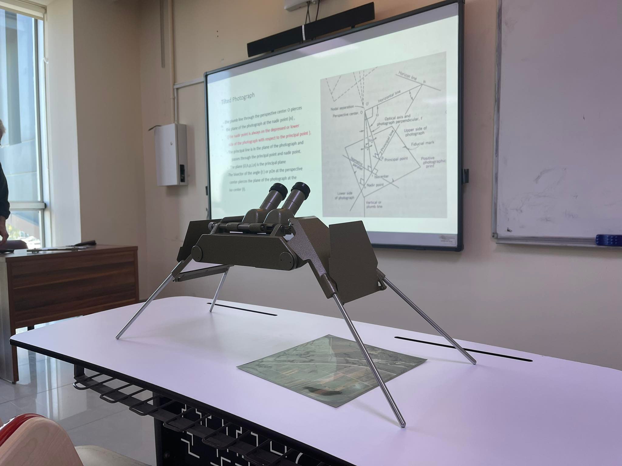
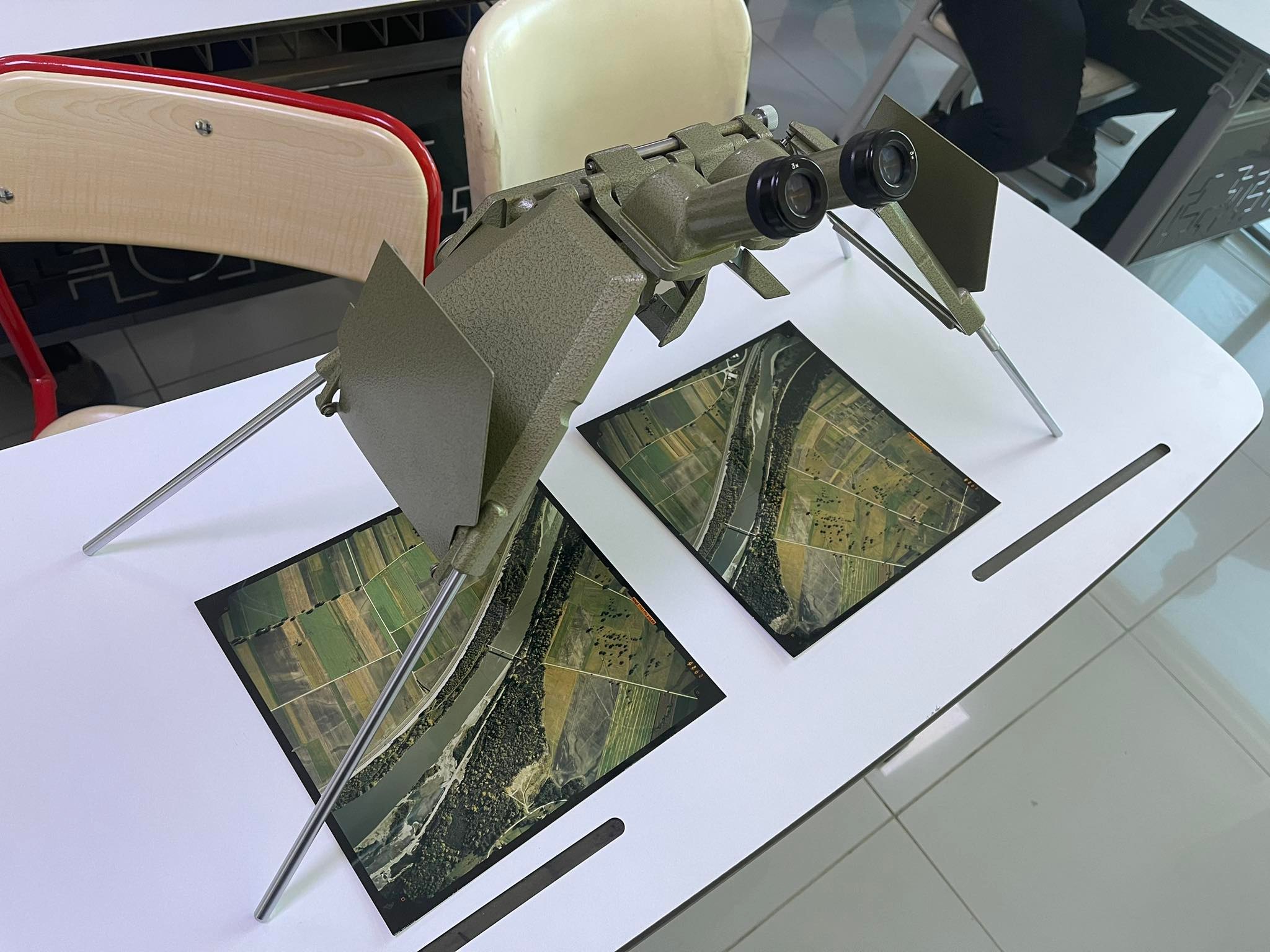
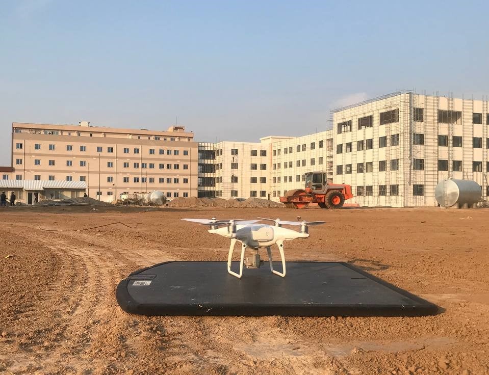
This training course aimed to provide participants with knowledge and skill related to flight planning preparation for UAVs, processing received data, creating orthophoto, DSM, and importing processed data for Engineering Software. Theory lectures explain the principles of Photogrammetry and camera functions, and types, followed by practical exercise, which helps to gain a practical understanding and essential skill sets required for present surveying works.
The course evaluates their participant based on daily class works and problem cases. Therefore, we can conclude that overall, the course exactly matched the course contains and targeted the main objective of the professional development of the course.
This course is open for Engineer’s Alumina and engineering faculty staff of TIU and students to develop their knowledge in this professional course.
the trainers recommend the TIU Presidency or Alumni and career center to advertise more about such as these courses to develop their graduates’ skills and update them due to marketing needs and combine this course with fieldwork in upcoming future work “like field data collection by flying Drones (UAVs) and setting out or layout the points according to different problem case studies”
After completing the course participants will be able to:
- Describe the History of Photogrammetry Science.
- Classify the UAV s and Camera Properties.
- Create and manage Control Points.
- Differentiate between the Photo scale and Map scale.
- Prepare Project Planning.
- Prepare UAV Flight Planning.
Course Timetable/Agenda
| TOPICS | DATE | TIME |
|---|---|---|
| Camera Types | 15/09/2022 | 3-5 PM |
| Camera Properties | 19/09/2022 | 3-5 PM |
| Introduction to UAV | 22/09/2022 | 3-5 PM |
| Classification of UAVs | 26/09/2022 | 3-5 PM |
| Control Points | 29/09/2022 | 3-5 PM |
| Preparation and Problems in Planning | 13/12/2022 | 3-5 PM |
| Project Planning, photo scale, and map scale | 14/12/2022 | 3-5 PM |
| Flight planning preparation for UAV | 15/12/2022 | 3-5 PM |
| GSD and resolution of data | 20/12/2022 | 3-5 PM |
| Flight mission | 21/12/2022 | 3-5 PM |
| Processing received data and Creating Orthophoto, DSM | 22/12/2022 | 3-5 PM |
| Import processed data for GIS and Civil 3D software | 05/01/2023 | 3-5 PM |