Academic Trip To Director of Planning and Developments of Ministry of Municipalities and Tourism
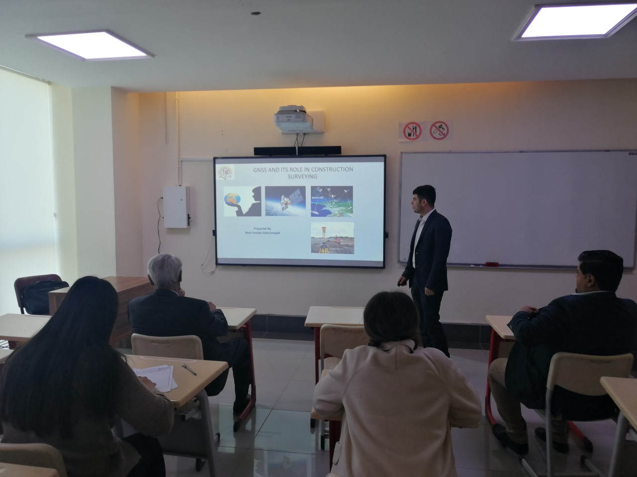
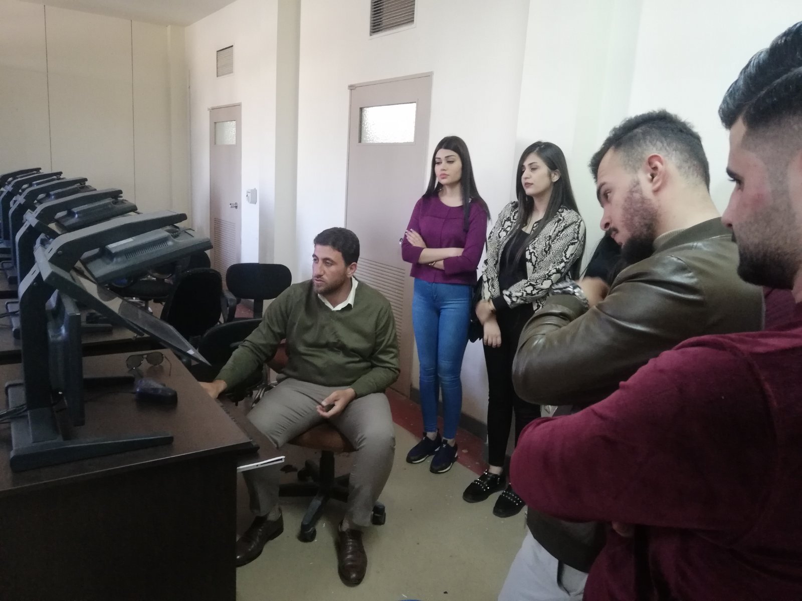
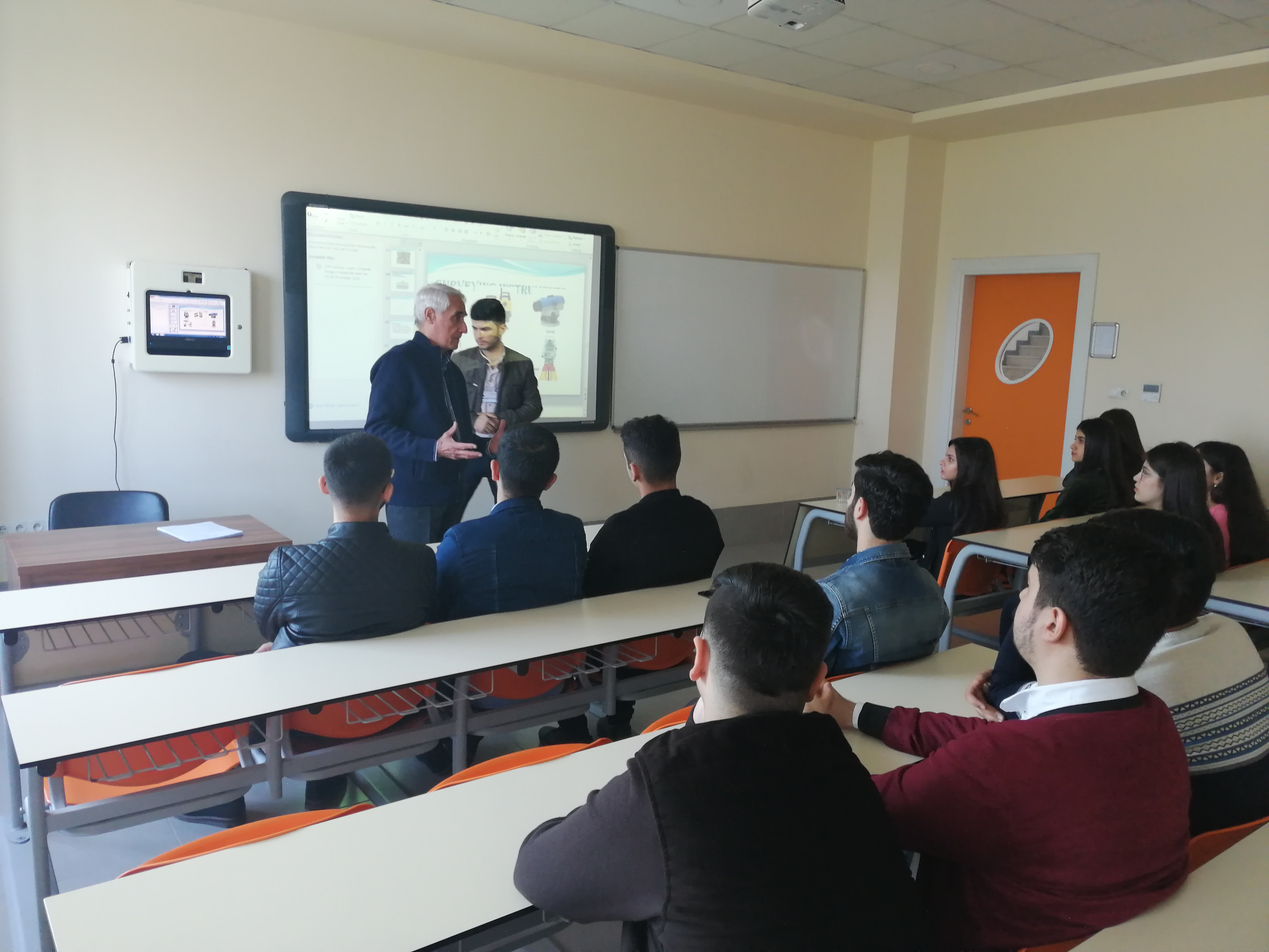
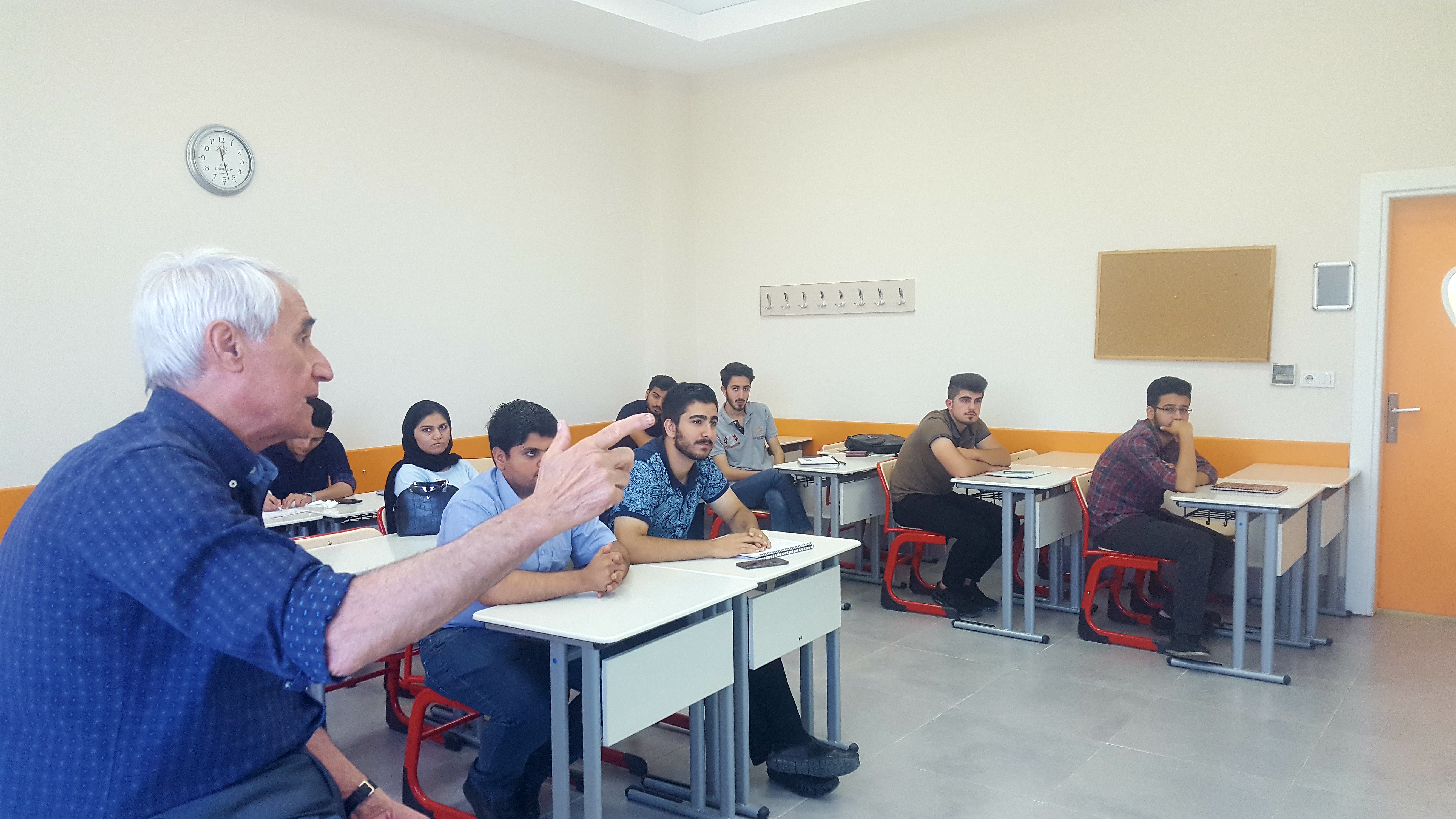
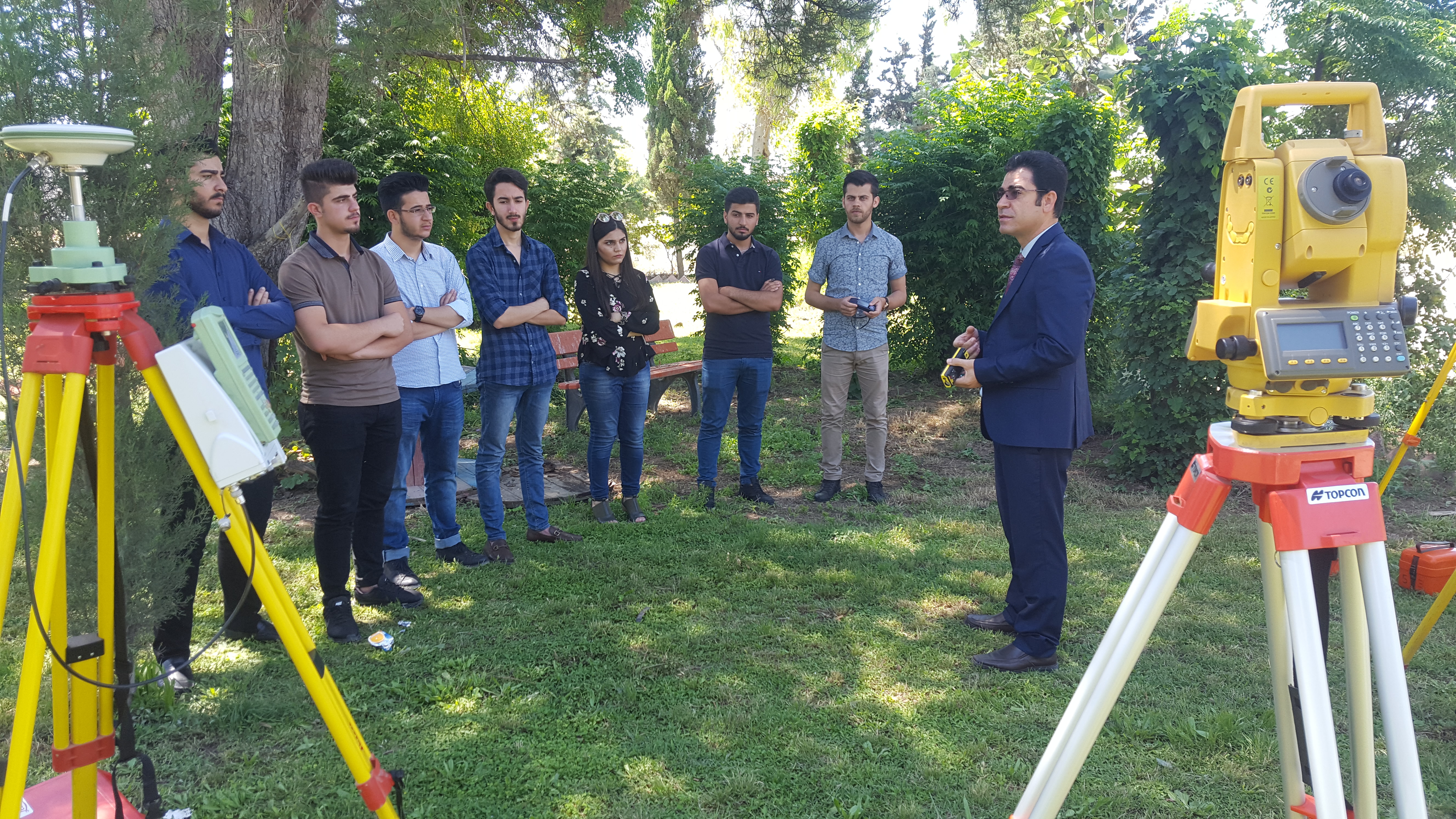
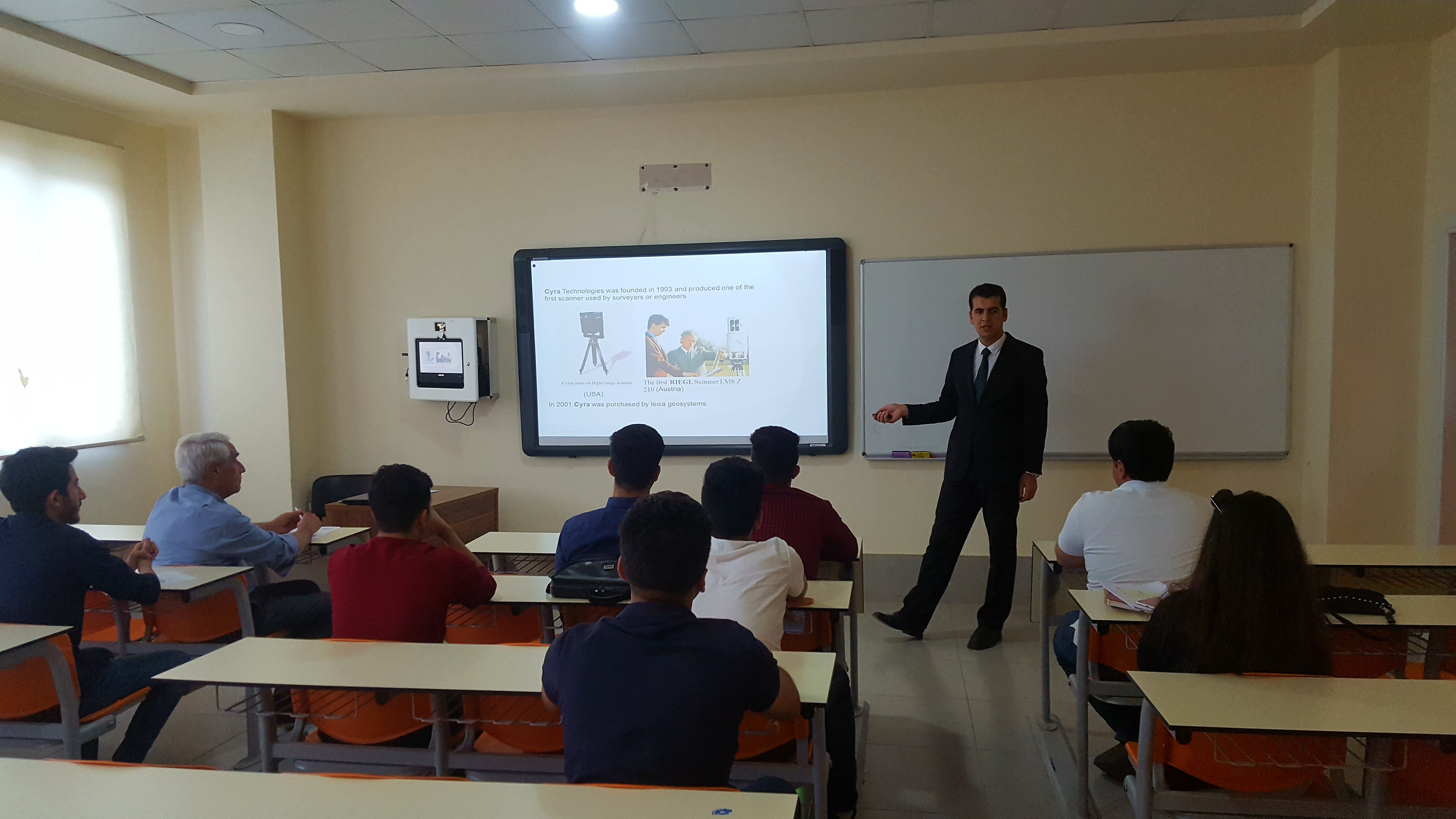
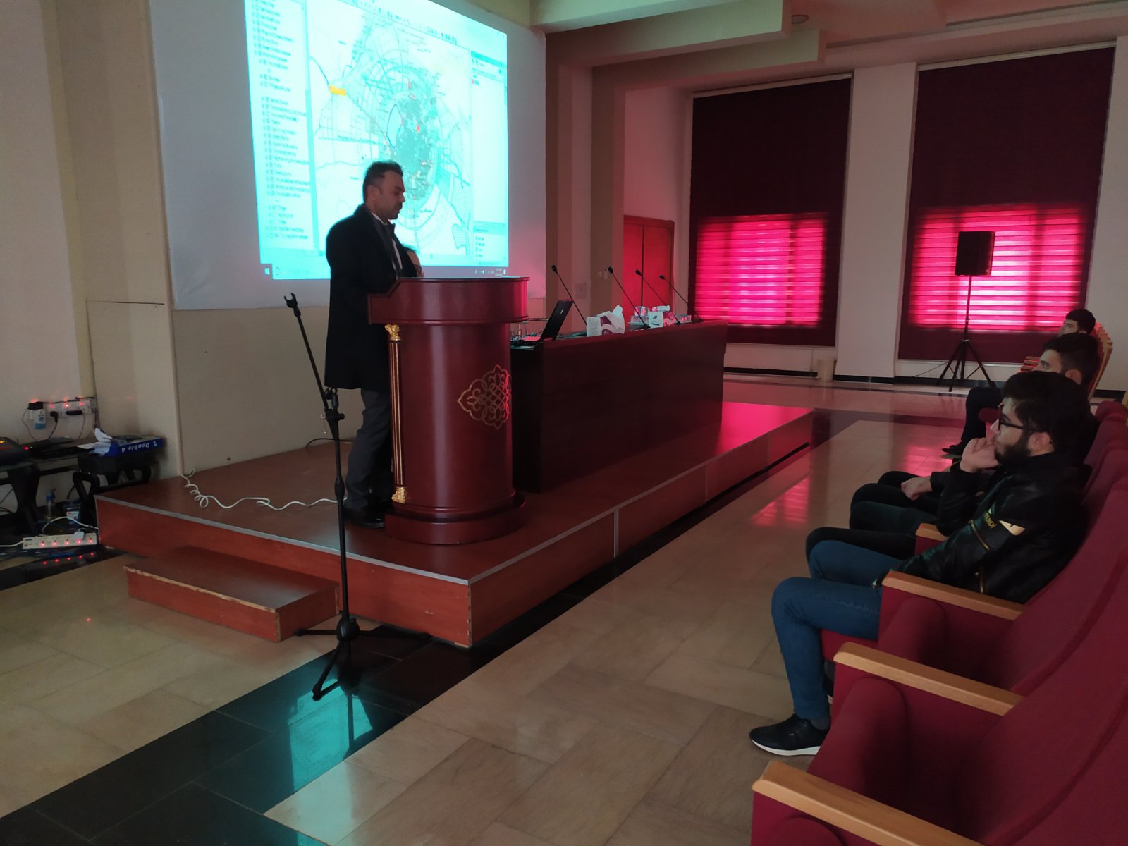
Web Admin2021-01-03T13:40:59+03:00On November 28, 2019, second-grade students of our department visited the Director of Planning and Developments of the Ministry of Municipalities and Tourism, our students received by Mr. Bakhtyar Sherif, Director of the Urban Planning. GIS department and Surveying Techniques Department presented a seminar about cadastral works and land law, GIS and GPS applications, their role, and the importance of cadastral explained and discussed.